
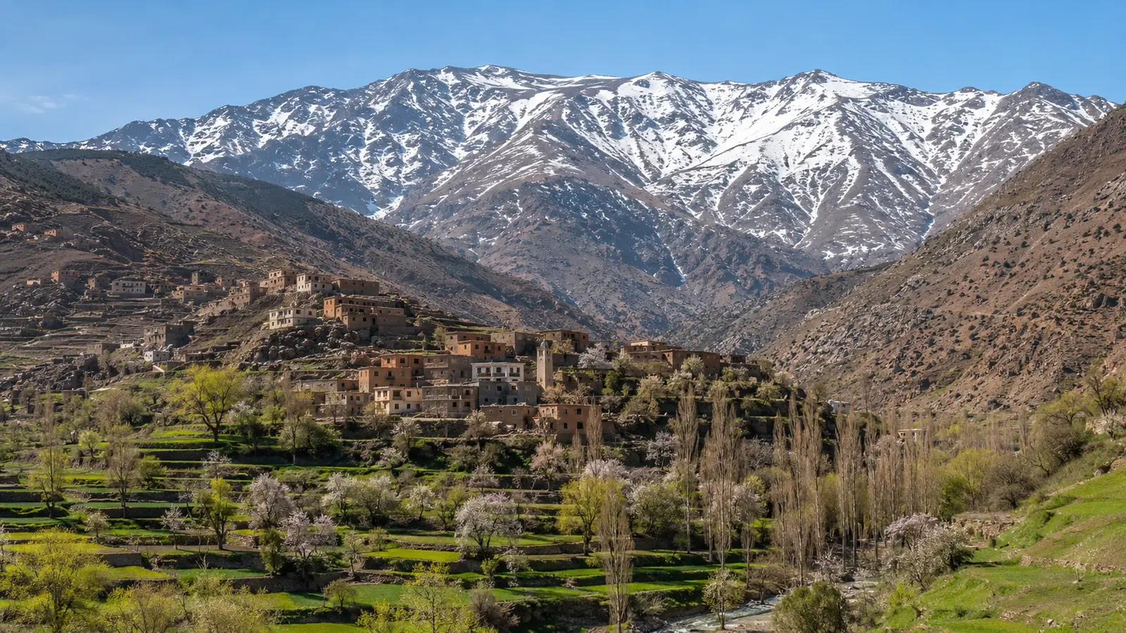
Valleys, trailheads and altitude
Road travel usually ends at a village or trailhead; from there, elevation gain matters more than the horizontal distance on a phone. A village walk may still include rough paths and heat, while a summit trek adds altitude, cold, navigation and longer exposure. Ask for start and high points, cumulative ascent, terrain, expected hours and the slowest-person plan before agreeing that a route is “easy.”
Altitude profiles matter even on established routes. Two walks advertised with the same duration can differ greatly in ascent, footing and shade. Ask the guide where the group can turn around and whether anyone has time to acclimatize. A traveler arriving directly from sea level should not let a fixed summit date override symptoms or professional advice.
- Request elevation and ascent figures
- Ask about terrain and exposure
- Match the route to the least experienced traveler
- Separate village walking from summit trekking
Check current details: Moroccan National Tourist Office — rural heritage · UNESCO — Atlas Cedar Biosphere Reserve
Imlil and alternative valleys
Imlil is a common access hub for the Toubkal area, with guides, lodging and mule services, but it is not the only High Atlas experience. A qualified local planner can suggest valley walks or community stays that match conditions and distribute spending. Alternatives should not be invented from a map: confirm road access, accommodation, local permission and emergency communication before moving away from established routes.
Alternative valleys are valuable when chosen with local knowledge, not because they can be marketed as “untouched.” Visitor dispersal still requires consent, trails, transport and lodging that benefit the host community. Ask where meals and guiding fees are retained, and avoid posting precise directions to fragile locations that lack the capacity for sudden traffic.
- Use Imlil for established infrastructure
- Ask about suitable lower-pressure alternatives
- Confirm access and permission
- Keep emergency communication in scope
Guides, mules and accommodation questions
Agree the route, guide qualification, language, group size, meals, equipment, accommodation standard, cancellations and emergency responsibility in writing. For mules, ask about load limits, tack, rest, water and handler experience; do not accept overloading. Check that travel insurance covers the exact activity and altitude. A low quote that excludes fair labor, safety or contingency is not a bargain.
Porter and mule arrangements should specify each stage and load before the group leaves. Travelers remain responsible for carrying medication, water and essential layers rather than placing every critical item on an animal that may take another route. Accommodation questions should include bedding, heating, bathroom type and power as well as the view.
- Verify guide credentials where required
- Define inclusions and emergency roles
- Ask animal-welfare questions
- Confirm insurance for altitude and trekking
Seasonal hazards
High Atlas conditions can include summer heat, winter snow and ice, thunderstorms, flash floods, rockfall and rapid temperature change. A clear morning does not guarantee the afternoon. Check a current mountain-specific forecast and local trail report, carry layers and turn back early. Never enter a narrow watercourse when storms are possible, and do not treat another group’s footprints as proof of safety.
A forecast for Marrakech does not describe a high trail. Obtain an elevation-relevant forecast and a report from someone who has seen the route recently. Snow can require traction and winter skills; heat can make a lower valley walk strenuous. Thunder or rising water calls for an early retreat, even when the booked itinerary says the day is a summit day.
- Check weather and trail condition
- Avoid flood channels in unstable weather
- Carry insulation and sun protection
- Turnaround time is part of the plan
Three itinerary levels
A one-day village visit should leave enough daylight for the road return and one unhurried walk. A two-night stay can include acclimatization, a moderate guided route and community time without racing. A multi-day trek requires documented stages, qualified leadership, appropriate equipment and a weather contingency. Do not compress a summit objective because transport consumed the first day.
The two-night format is often the best introduction: arrive with daylight, take a moderate walk the next day and retain the second morning for weather or rest. A summit attempt belongs in a properly supported multi-day plan matched to season and ability. Advertising it as a casual extension from Marrakech understates the preparation and altitude involved.
- One day: orientation and short walk
- Two nights: adaptable valley itinerary
- Multi-day: full safety and logistics plan
Amazigh community etiquette
Mountain villages are homes, farms and religious communities, not open-air sets. Greet people, dress modestly, ask before photographing and keep drones grounded unless permission and law clearly allow them. Choose locally owned services when they genuinely meet safety needs, pay agreed rates and purchase directly from makers when possible. Do not distribute gifts to children or enter fields without invitation.
Hospitality does not make a home public. Wait for an invitation, follow the host’s lead on shoes and seating and ask before recording any part of the visit. When buying food or crafts, direct payment to the provider is clearer than distributing unsolicited gifts. Children should never be used as intermediaries for photographs or donations.
- Ask before photography
- Respect agricultural work and water systems
- Pay agreed local services directly
- Do not stage residents for content
Check current details: Moroccan National Tourist Office — rural heritage · UNESCO — Atlas Cedar Biosphere Reserve
Packing, water, connectivity and evacuation
Carry footwear suited to the surface, sun and rain protection, warm layers, food, sufficient water or a validated treatment method, a first-aid kit and offline route information. Mobile signal is not guaranteed and rescue may be delayed. Share the plan and return time with someone, know who can initiate help and do not assume a mule or vehicle can reach every trail section.
Water treatment must match the source and device instructions; a filter alone may not address every contamination risk. Carry more than one navigation and communication method, but understand that a phone cannot guarantee rescue. The guide, accommodation and an outside contact should know the planned route, high point and latest return time.
- Pack for temperature swings
- Validate water treatment
- Share route and turnaround time
- Plan as if connectivity will fail